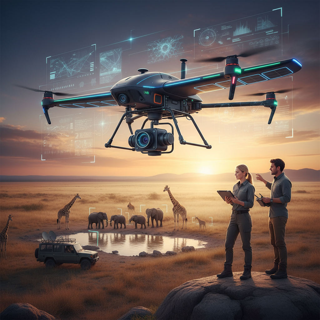
Aerial census animal counts have become essential tools in ecosystem conservation, and recent technological advancements are enhancing these efforts. Unmanned aerial vehicles (UAVs), commonly known as drones, are increasingly capable of surveying large areas for tracking wildlife, preventing poaching, and habitat monitoring. Combining these UAVs with artificial intelligence algorithms is now emerging as a powerful approach to automate and improve data collection.
Experts in the field are developing AI-enhanced drone systems that can perform real-time game counting and species identification, significantly reducing the need for human intervention and minimizing disturbance to wildlife. This integration promises more accurate, timely, and comprehensive data, which is vital for effective conservation management. These innovations are poised to transform the way environmental agencies and researchers monitor biodiversity and wildlife populations globally.
Impact on Conservation Strategies
The use of AI-powered aerial surveys can help authorities manage protected areas more efficiently. The technology enables faster detection of poaching activity, tracking of animal movements, and assessment of habitat health. With high-precision imaging and machine learning, these drones support a proactive conservation approach, guiding more informed decision-making and resource allocation.
These advancements in drone and AI technology demonstrate significant ecological benefits, showing how modern aerospace innovations contribute to sustainable conservation efforts.
As the adoption of these integrated tools expands, they are expected to lead to better ecological outcomes, facilitating global efforts to preserve biodiversity and safeguard ecosystems for future generations.